
CLS at INFOFISH: Ocean Intelligence for Tuna Fisheries with CATSAT
- 14 September 2026
- Category: News
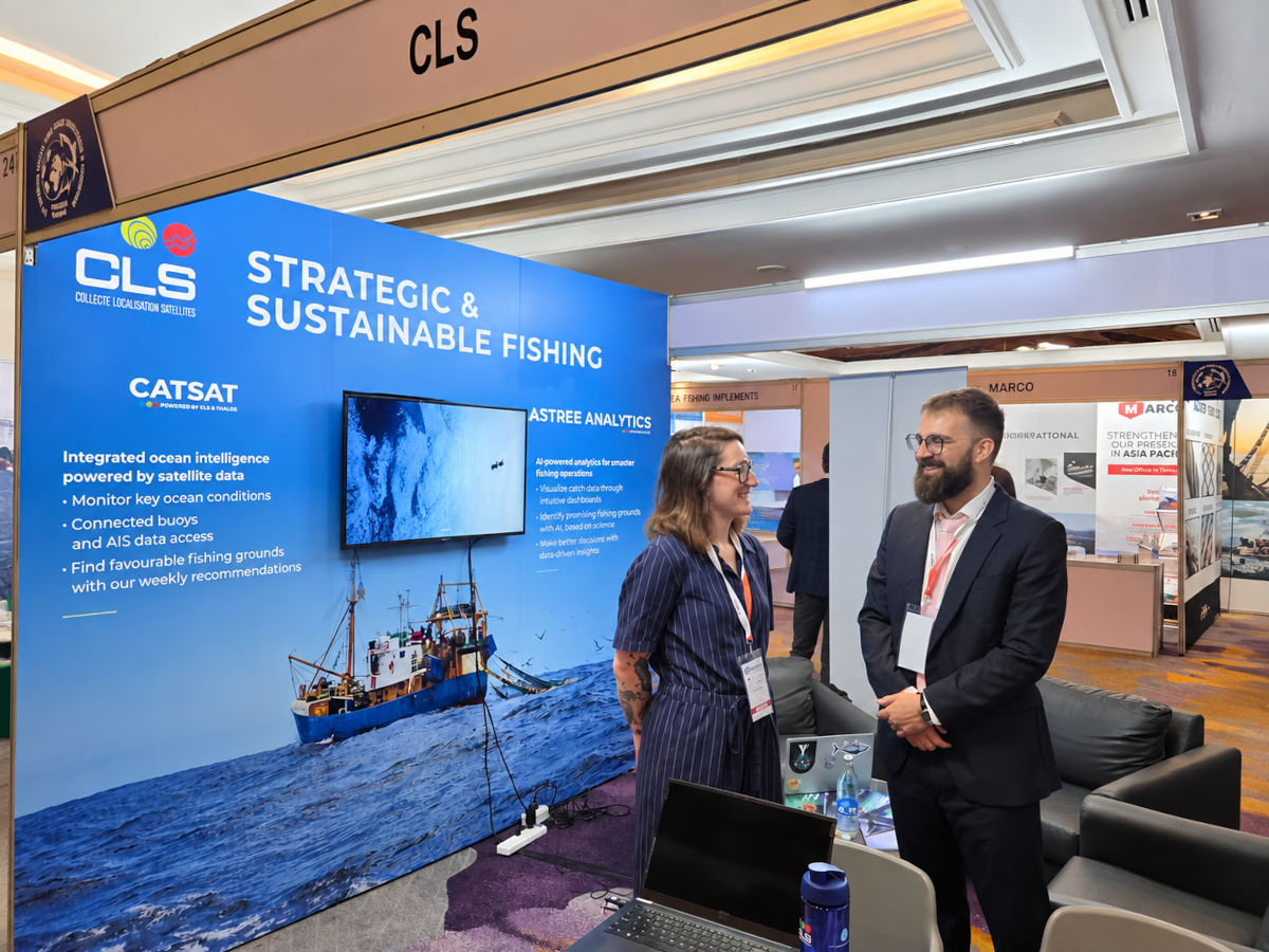
CLS will be at INFOFISH in Bangkok to meet with tuna fishing professionals and showcase CATSAT, its ocean intelligence solution designed to help users better understand and anticipate changes in the marine environment.
Against a backdrop of increasing pressure on marine resources and growing variability in the marine environment, fishing professionals are facing increasingly complex conditions. Sea surface temperature, currents, ocean fronts and biological productivity all influence the distribution of tuna and other pelagic species, while major climate phenomena such as El Niño can significantly alter fishing grounds.
Tuna resources under pressure: what challenges does the fishing industry face?
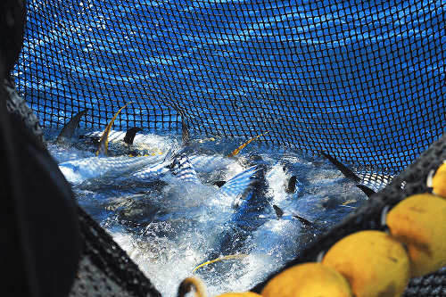
Tuna fisheries continue to face significant pressures worldwide. Driven by sustained international demand, particularly for sushi and sashimi, tuna fishing continues to place pressure on certain stocks, especially highly sought-after species such as yellowfin tuna. Some fishing practices, particularly purse seining and longlining, can also result in the bycatch of juvenile tuna and other marine species, including sharks and turtles, creating a major challenge for biodiversity conservation.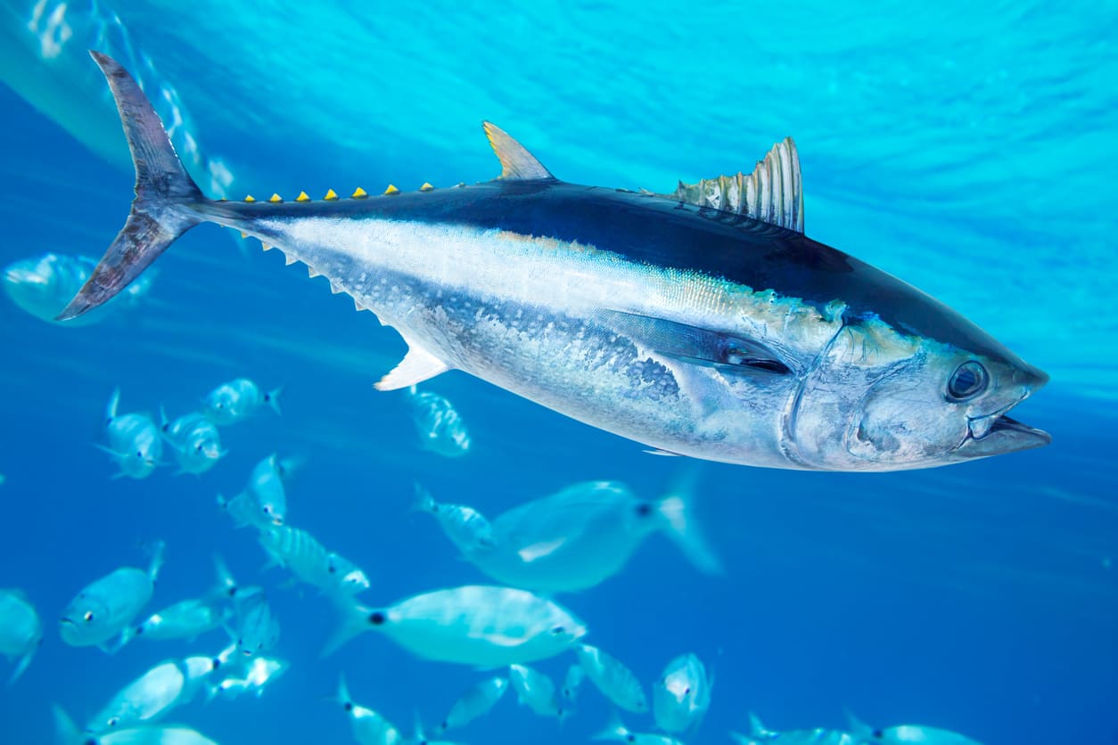
These pressures are now compounded by the effects of climate change and ocean variability. Changes in water temperatures, currents and marine productivity can alter tuna distribution and migration patterns, making fishing grounds increasingly difficult to anticipate.
In this context, fishing professionals must strike a balance between operational performance, resource conservation and adaptation to a constantly changing marine environment.
Super El Niño: how can we anticipate major changes in the ocean?
El Niño is a natural climate phenomenon associated with the warming of surface waters in the tropical Pacific. When it reaches exceptional intensity, it is referred to as a “Super El Niño.”
These events can profoundly alter ocean dynamics and the distribution of fisheries resources, making fishing operations more difficult to plan.
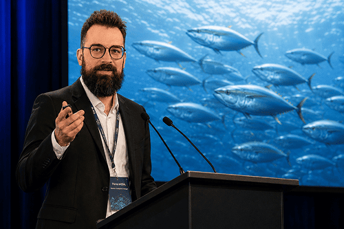
Pierre Vassal, Fisheries Expert at CLS, explains how these phenomena affect fisheries and how CATSAT can help the industry better understand and anticipate these changes.
Super El Niño events appear to be becoming more frequent and intense. What impacts are you seeing on fisheries?
Pierre Vassal : “They affect sea surface temperature, ocean currents, the intensity of upwelling and the structure of water masses. These parameters directly influence ocean productivity and can sometimes cause habitats suitable for commercial species to shift by several hundred kilometres. As a result, historically productive fishing grounds can temporarily become less favourable: captains can no longer rely solely on the experience they have built up over the years.”
How is CLS responding to these challenges?
Pierre Vassal : “For more than 40 years, CLS has been transforming ocean science into operational intelligence for the fishing industry. Building on this expertise, CATSAT combines satellite observations, operational oceanographic modelling and marine ecosystem indicators to provide a comprehensive understanding of ocean dynamics.
The platform integrates key oceanographic and biological variables, including sea surface temperature, currents, ocean fronts, El Niño and La Niña conditions, as well as the distribution of phytoplankton, zooplankton and micronekton.
By bringing together these complementary data sources, CATSAT provides an integrated view of the marine environment and helps fishing professionals better understand ecosystem variability to make more informed operational decisions.”
CATSAT, a decision-support solution for more strategic and sustainable fishing
Faced with the new challenges affecting tuna fisheries and the El Niño phenomenon, CLS draws on more than 40 years of expertise in observing and understanding the oceans to support fishing professionals.
Its CATSAT solution transforms data from satellite observations, oceanographic modelling and marine ecosystems into information that can be directly used to support fishing operations.
CATSAT brings together essential oceanographic and biological parameters within a single platform: sea surface temperature, surface currents, ocean fronts, El Niño and La Niña conditions, as well as the distribution of phytoplankton, zooplankton and micronekton.
By combining these different sources of information, the solution provides an integrated view of the marine environment and helps fishing professionals better understand ecosystem variability to support their operational decision-making.
CATSAT’s strength lies in its ability to transform millions of data points into actionable decision-support information. By identifying the environmental conditions favoured by different species and tracking how they evolve over time, the solution helps captains better guide their search strategies, avoid less favourable areas, and optimise the time and resources devoted to fishing operations.
The aim is not to predict the exact location of fish: CATSAT complements the captain’s experience with robust scientific information, helping them better interpret the changes observed at sea.
CATSAT at a glance
1,200 fishing vessels equipped • More than 50 countries • Over 40 years of CLS expertise
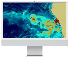 Zooplankton map in CATSAT
Behind CATSAT is a team of 14 experts combining expertise in oceanography, satellite technologies and data analysis. This multidisciplinary expertise enables the solution to continuously evolve in response to the operational needs of fishing professionals and changes in the marine environment.