Precision Line Management
from Surface to Depth
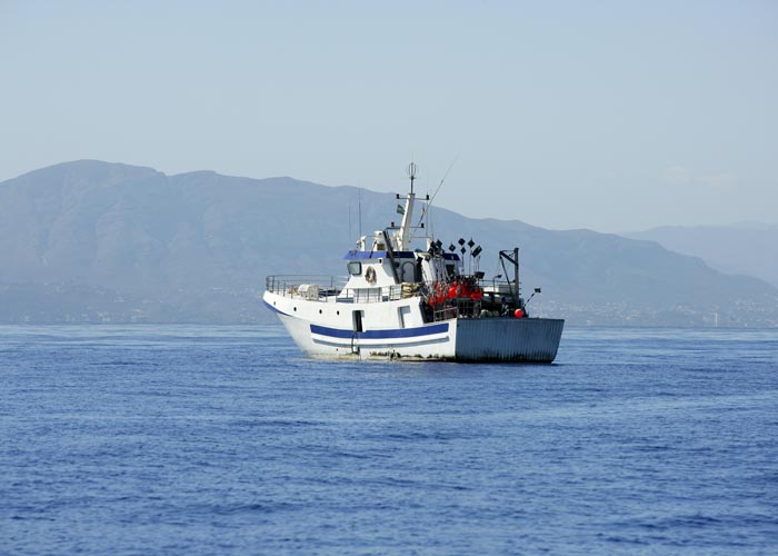
CATSAT v7 brings ocean intelligence to longline operations for species like tuna, swordfish, billfish, and more.
Longline fishing demands precision. You must place hooks at ideal depths, in the right zones, while minimizing bycatch and maximizing efficiency.
CATSAT v7 offers a dedicated toolkit: Longline Manager, hook-level analytics, and automatic front detection, optimized for deep and surface operations.
Core Advantages of CATSAT
for Longliners
Precision fishing with Longline-specific tools
In longline fisheries, success is measured in centimeters, the depth of your hooks determines whether you meet the target stock or miss it entirely.
CATSAT provides captains with a dedicated toolkit designed specifically for this demanding fishing technique.
The Longline Manager helps plan optimal hook depth, spacing, and deployment strategies to reach the most productive layers of the water column. Hook-by-hook analysis allows captains to learn from every set, turning experience into data-driven decision making. With automated front detection, you can identify thermal and altimetric fronts, natural aggregation zones for pelagic predators.
And with the CATSAT Mate App, catch and hook data are logged in real time from the bridge, giving crews complete operational visibility.
Deep Ocean Intelligence
for better targeting
CATSAT goes beyond surface maps.
Its high-resolution subsurface layers reveal where prey and predators interact, enabling skippers to place gear at the right depth, at the right time. Zooplankton and micronekton maps expose prey fields, while vertical current profiles help avoid gear drift and increase setting precision.
With habitat and species distribution maps, captains can target mature fish more accurately, increasing selectivity and reducing bycatch, a key operational and regulatory advantage.
Operational efficiency
and safety at sea
Longline operations are complex, and efficiency matters.
CATSAT helps captains optimize fuel usage by focusing effort on narrower, high-potential zones instead of broad exploratory fishing. Real-time ocean and weather intelligence improves catch performance, while advanced route and storm forecasts enhance crew safety.
All of this is backed by CLS’s team of oceanographers and fisheries experts, providing ongoing training, custom support, and weekly operational guidance.
See How CATSAT Can Optimize Your Longline Operation
With CATSAT, longline captains gain the clarity, precision, and intelligence to turn every set into a strategic action, increasing efficiency, profitability, and sustainability through tailored oceanographic insights that support confident, data-driven decisions at sea.
Contact our experts to explore how CATSAT can be adapted to your longline operations.